40 ACRES Land Susanville, Ca. LASSEN COUNTY
Overview
- Agricultural & Farm Land, Recreational & Hunting Land, Vacant Land
Description
40 ACRES Ranch-Farm
Susanville, Ca. LASSEN COUNTY
We owned only %75 of this property.
This property is in the vicinity of Susanville; (formerly known as Rooptown) is the county seat of Lassen County, California; Susanville is located on the Susan River in the southern part of the county at an elevation of 4,186 feet. The population was 17,974 in the 2010 census, up from 13,541 in the 2000 census. Susanville, the county seat of Lassen County, is a vibrant and industrious community in the northeastern corner of California.
Throughout Susanvilles history agriculture and ranching have always played a prominent role, contributing to both the economy and its rural atmosphere. The clean environment and easy access to outdoor recreation make it attractive to both visitors and residents. The towns pioneer heritage lives on in our goal to keep the city on the list of top places to live in America. The elevation of Susanville is approximately 4,258 feet above sea level. It is considered a gateway city to Reno on U.S. Route 395.
Susanville lies at the junction of California State Routes 36 and 139. Highway 139 heads north to the Oregon border as a direct route to Klamath Falls. Highway 36 runs west to Red Bluff, then east to where it terminates with U.S. Route 395 just outside Susanville’s city limits. U.S. 395 connects Alturas to the north and Reno to the south.
Susanville Municipal Airport, 5 miles southeast of Susanville, serves as a public, general aviation airport. Lassen Rural Bus, operated by the Lassen County Transportation Commission, provided bus service within the city. Sage Stage, operated by Modoc County, connects Alturas, Susanville, and Reno, Nevada, with connections to Redding, California and Klamath Falls, Oregon.
Property Profile:
Address: Susanville, CA 96130
APN: 115-110-33-11
Lot Size: 40 Acres / 1,742,400 Square Feet
HOA: NO HOA fees.
State/Province: California
Taxes: Only $423 per year.
County: Lassen
City/ Location: Susanville, CA 96130 See Map.
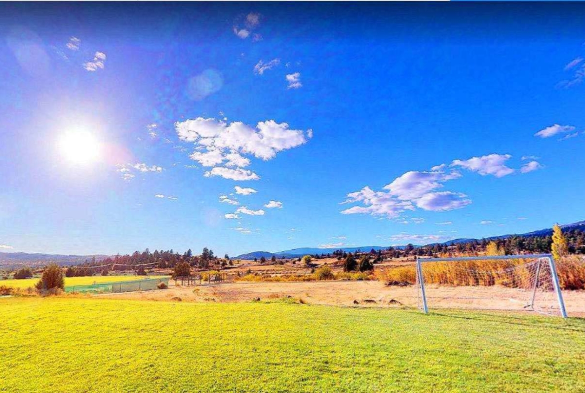
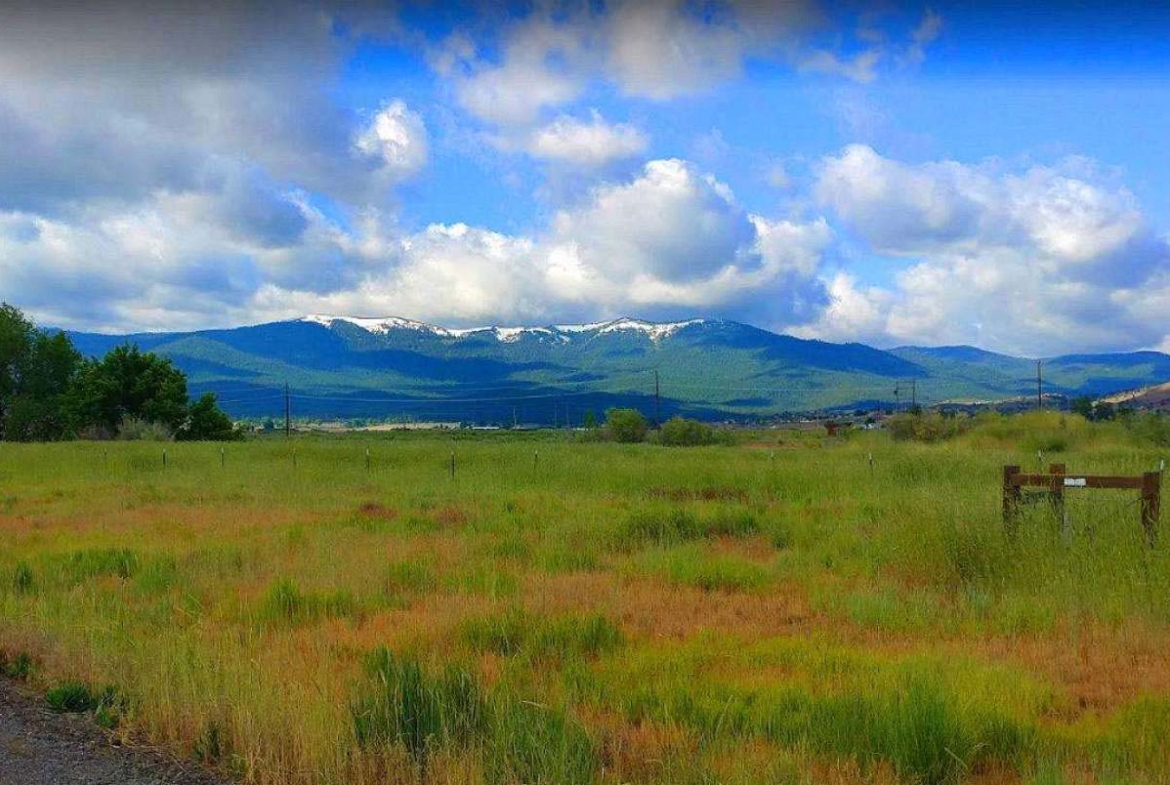
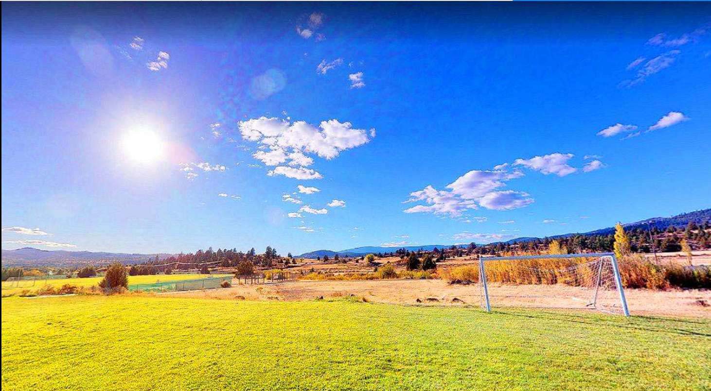
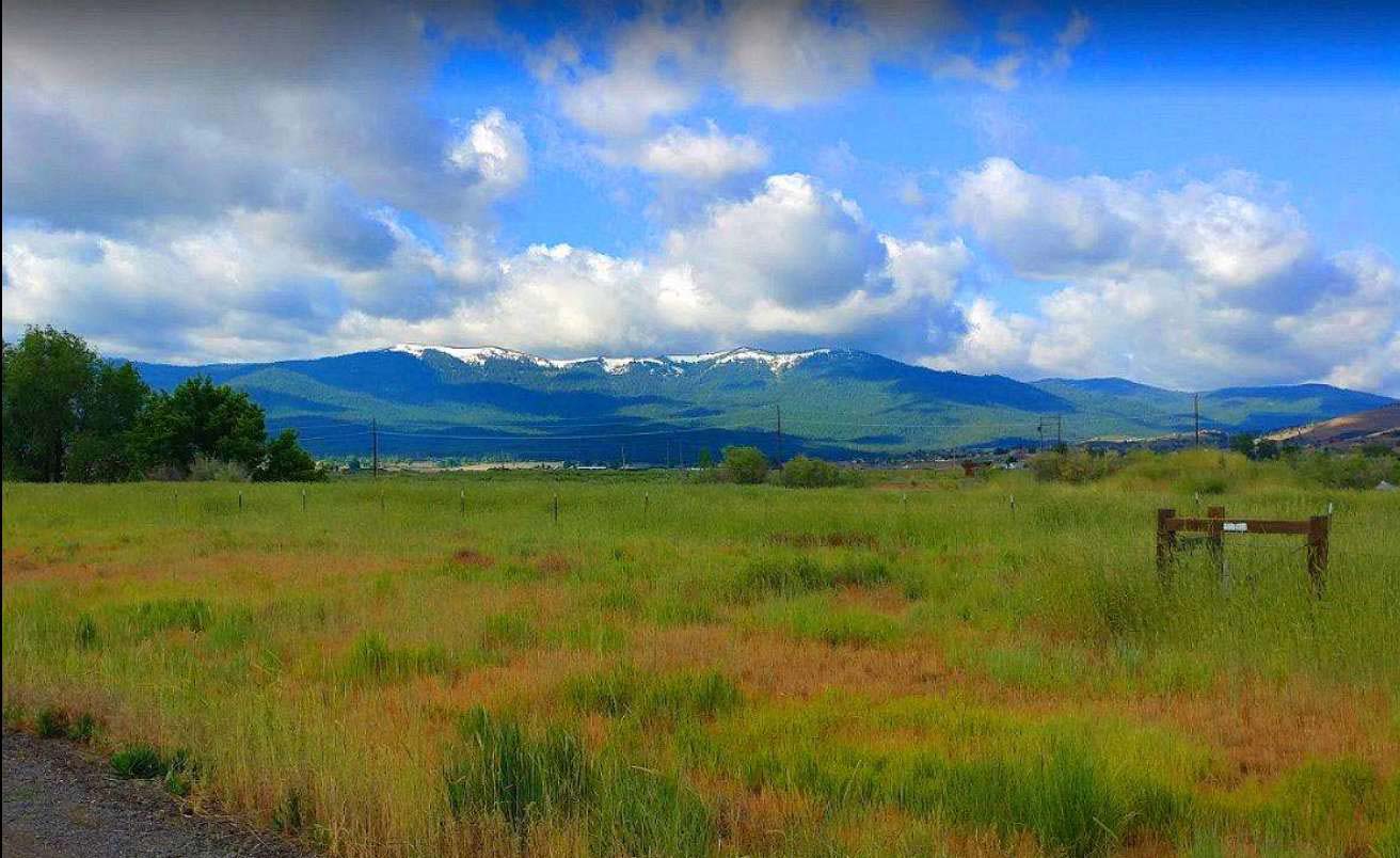
The photos 2, 4, 6, 8, 10 and 12 show the actual property and the surrounding lots. Photos 1, 3, 5, 7, 9 and 11 shows general area.
We have also included a County Parcel Map and an aerial Map to help you. The assessor’s parcel number to the property is Lassen County APN# 115-110-33-11
Here is a link (including the GPS coordinates) to view the location of the property on Google Maps:
40.359070,-120.733453
(You may have to copy and paste this to use it.) Once the map pops up, simply use the zoom tool on the left side of that screen to view the map in more detail. You can even view an aerial photo by clicking on the Satellite tab in the upper right portion of that screen.
All information we have on this property is disclosed within the content of the listing page. Any and all other information on this property should be directed toward the city or county of which the property is located in. Your due diligence should be performed, to ensure the property meets your needs and criteria.
Address
Open on Google Maps- Address Susanville, CA 96130
- City Susanville
- State/county California
- Area Lassen
- Country USA
Details
Updated on November 6, 2021 at 12:44 am- Property ID: 10692868
- Price: $40,000
- Land Area: 40 Acres
- Property Type: Agricultural & Farm Land, Recreational & Hunting Land, Vacant Land
- Property Status: Cash Sale Only
Mortgage Calculator
- Principal & Interest
- Property Tax
- Home Insurance
- PMI


